
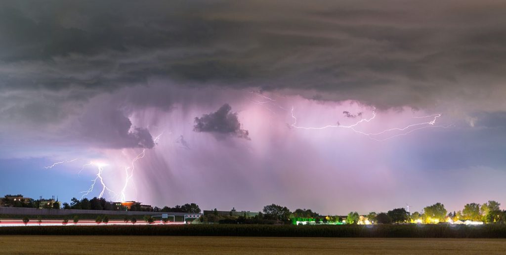
From orbit, a thunderstorm announces itself in flashes. Instruments aboard weather satellites now watch continuously for lightning across entire continents and oceans, recording not only where strikes occur but how frequently a storm produces them. Meteorologists have learned that a sudden jump in flash rate often signals a storm that is intensifying, because lightning depends on strong updrafts carrying ice particles that collide and build electrical charge. A storm producing more flashes is frequently a storm growing more vigorous, and that signal can arrive minutes before severe wind, hail or heavy rain reaches the ground. Space-based detection has a particular advantage over ground networks: it sees the total lightning within a storm, including flashes that stay inside the cloud and never touch the earth, and it works over oceans and remote land where ground sensors are sparse. Researchers are now mining years of this data to understand how storm behaviour varies by region and season, and how lightning relates to rainfall and storm structure. The result is both a practical forecasting tool and a new window on how the atmosphere organises its most energetic weather.
What the Evidence Shows
Climatologists are equally interested in the long record, because lightning responds to temperature and moisture in ways that models struggle to reproduce. Some studies suggest warmer conditions could increase lightning in certain regions while shifting it in others, with implications for wildfire ignition, since a small share of strikes in dry country starts a large share of major fires. Turning satellite flashes into reliable knowledge requires careful calibration, since instruments differ in sensitivity and a storm at the edge of view is recorded differently from one directly below. Teams therefore cross-check orbital data against ground networks wherever both exist. For forecasters, the immediate prize remains warning time. Combining lightning trends with radar and surface observations helps them distinguish a routine downpour from a storm about to turn dangerous, and to communicate that distinction clearly. As sensors improve and data flows faster into forecast offices, the humble flash, counted from hundreds of kilometres above, is becoming one of the most informative vital signs a storm can offer. Reporting and analysis from sources such as National Science Foundation track the same developments, and specialists following lightning measured from space say the direction is now consistent across independent lines of evidence.
The Wider Context
The wider context is a research landscape in which replication and open data now decide reputations. Findings connected to lightning measured from space are being checked by independent groups with shared datasets, and the teams involved publish their methods in full so rivals can test every step. That discipline is slower than a headline cycle, but it is why results in this area increasingly survive first contact with scrutiny.
What Happens Next
What happens next in the story of lightning measured from space will be decided by follow-up work already under way: larger samples, longer observation and instruments that have not yet come online. The researchers involved are unusually united on one point, that the current results justify the next investment of time and money. Readers will not have to wait long for the first tests of that claim. You can follow related developments in our coverage of science.
There is a practical lesson in all of this for readers deciding what to do today. Start with the verified facts, be wary of anyone promising certainty, and prefer reversible steps while the evidence is still developing. Circumstances differ by country, income and personal situation, so general guidance should always be weighed against your own context before you act on it in any significant or lasting way.
